Our transit from Bern to Lucerne was via a regional train that put our red rattlers to shame. While Lucerne is actually lower than Bern, (422 m above sea level compared to 540 m) getting there involved travelling up and over some attractive mountain passes that looked like picture postcards from Heidi.
Along the way, something unique happened – our tickets were inspected (or rather glanced at)! I am actually a little disappointed that it happened as I had planned to include in a future blog update the observation that up to that time, none (zip, zero, zilch) of our expensively acquired travel tickets had ever been checked (total cost in Switzerland till this time was AUD 379).
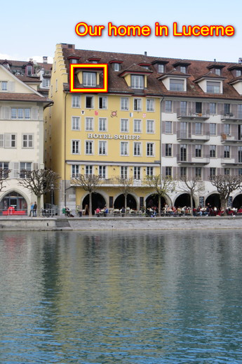
Arriving at Lucerne rail station just after 1 pm, we dragged our bags a short distance to our accommodation right on the waterfront. Nice work Chris!
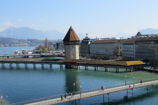
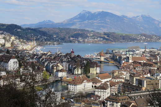
Looking towards Lake Lucerne, the Chapel Bridge and the octagonal water tower can be clearly seen. The Chapel Bridge is a covered wooden footbridge spanning the River Reuss at a diagonal. Named after the nearby St. Peter’s Chapel, the bridge is unique in containing a number of interior paintings dating back to the 17th century and is the oldest wooden covered bridge in Europe, as well as the world’s oldest surviving truss bridge.
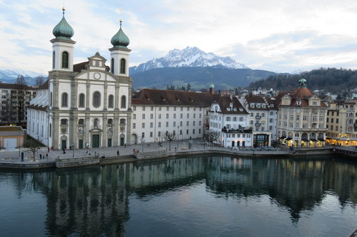
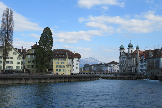
Looking in the other direction, across the river past the Jesuit Church, Pilatus can be seen. Often referred to as Mount Pilatus, this is a mountain massif overlooking Lucerne and is composed of several peaks, of which the highest (2,128 m (6,982 ft)) is named Tomlishorn.
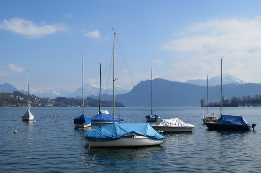
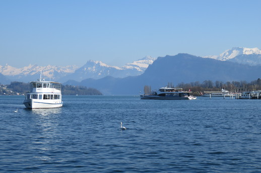
We set off to enjoy the afternoon sunshine and explore our new surroundings, starting with a walk along the waterfront.
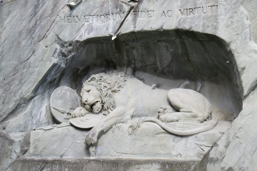
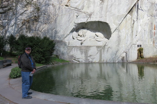
The Lion Monument (Lion of Lucerne) is a rock relief hewn in 1820–21. It commemorates the Swiss Guards massacred in 1792 during the French Revolution, when revolutionaries stormed the Tuileries Palace in Paris.
Running through the old city is the Museggmauer, an old city defensive wall featuring nine towers, four of which can be climbed. Alas, we missed them being opened by one day (1st April)! Some of the towers and a large section of the wall can be seen in the following image taken from the terrace at Château Gütsch, an upmarket hotel and restaurant located across the river and up a steep climb traversed by an inclined elevator.
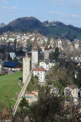
Château Gütsch also provided some great views of the city and part of Lake Lucerne.
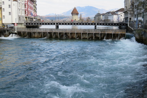
Continuing our walk, we found the point where Lake Lucerne turns into the River Reuss, behind a weir constructed between 1859 and 1861 to regulate the level of the lake.
Called the Reuss Weir (Needle Dam), the flow of water from Lake Lucerne is manually adjusted by the removal and insertion of timber panels (needles) creating an adjustable wall.
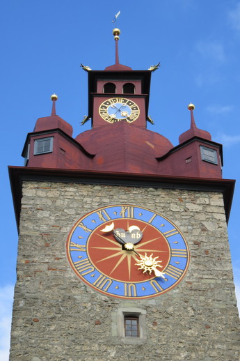
The town hall clock provides a colourful time reference across the old city.
With tomorrow’s forecast predicting good weather for Mount Pilatus, we decided that would be our next adventure destination.
So many great pictures and details. I don’t need to go now 🤩