The good weather we had enjoyed in Limerick did not persist as we began our transit to Galway. The rain was driven by hard winds as we made our way up the west coast through County Clare to visit the Cliffs of Moher.
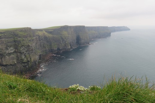
The Cliffs of Moher are Ireland’s most visited natural attraction. They stretch for 8km along the Atlantic coast of County Clare and reach 214m at their highest point at Knockardakin just north of O’Briens Tower.
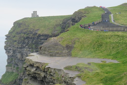
O’Brien’s Tower was built in 1835 by Cornelius O’Brien, the then landowner and a man ahead of his time, believing that the development of tourism would benefit the local economy and bring the people out of poverty.
At the southern end of the cliffs stands Hags Head, a natural rocky promontory that resembles a seated woman when viewed from the north. In the ancient Gaelic language, the word Mothar means “ruined fort” and a 1st century BC fort stood where Moher tower now stands.
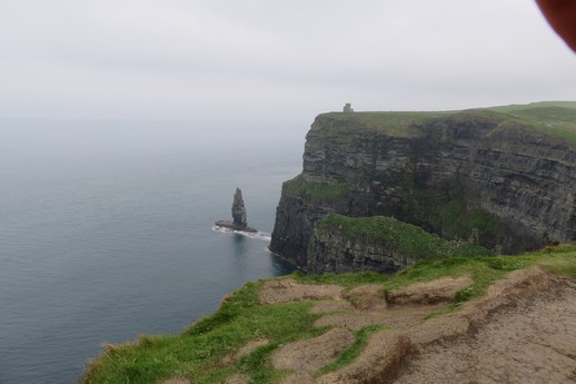
The top right hand corner of this image is partly obscured by the palm of my hand trying to keep the rain off the camera lens – doh!
The visitor interpretative centre has been cleverly camouflaged into the side of the hill. Photographs inside showed that the hillside was excavated for construction then back-filled to bury the structure. It looks completely as one with the environment and you almost expect to see hobbits beating rugs from windows that just appear like portholes in the grassy slope.
We continued onto Galway arriving in the late afternoon with a red hot windscreen wiper motor.